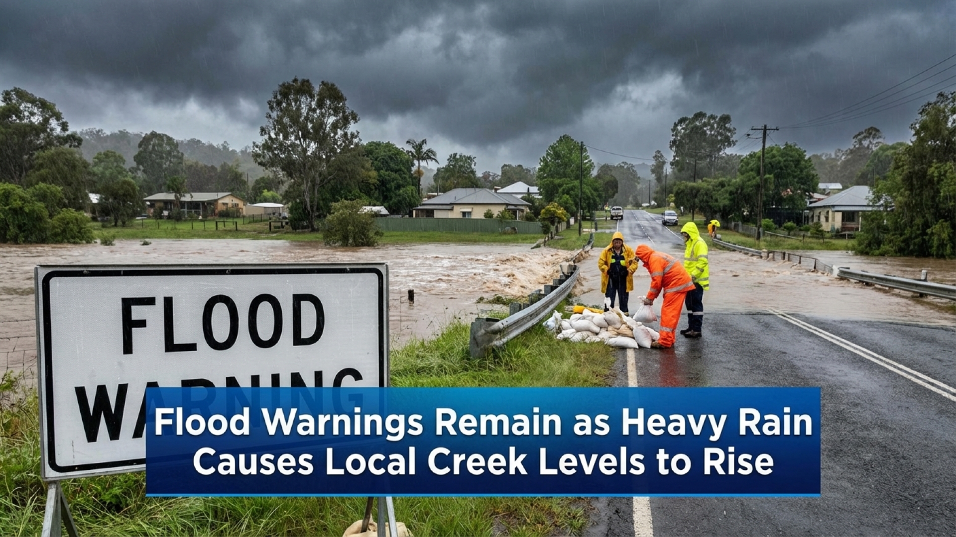
Flood Warning Issued: Western New York Creeks Face Rising Surge
A Flood Warning remains in effect for several waterways across Western New York as the region grapples with the aftermath of Tuesday’s heavy rainfall. According to the latest data monitored by the Lake Erie Times, runoff continues to swell local tributaries, prompting serious concerns for residents in low-lying areas. While the rain has subsided, the delayed impact of drainage into the watershed means the threat of localized flooding remains a priority for our local news coverage.
Evaluating the Current Flood Watch
A broader Flood Watch is currently active across the Southern Tier and parts of Western New York through Thursday morning. It is important to note that this alert is not predicated on new precipitation, but rather the sustained volume of water navigating through the region’s drainage basins. This surplus continues to inundate saturated ground and feed into major creek systems, keeping the potential for sudden water rises high. For the most up-to-date atmospheric conditions, residents should consult our weather updates regularly.
Impact Analysis: Specific Creek Outlooks
In-depth analysis by William Strasmore indicates that while some waterways have already peaked, others are still navigating toward their crest. The following table provides a concise breakdown of the current status for the most affected creeks in our community.
| Creek Location | Current Status | Projected Crest |
|---|---|---|
| Tonawanda Creek (Rapids) | Rising | Friday Morning (Moderate Stage) |
| Tonawanda Creek (Batavia) | Above Flood Stage | Wednesday Evening |
| Ellicott Creek (Williamsville) | Rising | Thursday Early Morning |
| Oatka Creek (East Genesee) | Receding | Passed (Wednesday Afternoon) |
Tonawanda Creek: Rapids and Batavia
At Rapids: Projections for the Tonawanda Creek at Rapids indicate a steady climb, with the waterway expected to exceed flood stage by Thursday morning. We anticipate the creek will reach a moderate flood stage by Friday morning. This surge is likely to cause backflow into smaller tributaries, specifically Black Creek, worsening the situation in low-lying farmland. Residents should prepare for potential road closures and avoid travel through standing water on local routes. Current forecasts suggest levels will not retreat below the flood threshold until early Saturday morning.
At Batavia: Conditions remain critical in Batavia, where the creek has hovered above flood stage since Wednesday morning. While a crest is expected tonight, moderate flooding is already impacting West Main Street and South Main Street. Our reporting suggests that minor residential and commercial seepage remains a risk until the water recedes late tonight.
Ellicott Creek and Oatka Creek Status
Ellicott Creek near Williamsville: This waterway is on a shorter trajectory, with levels expected to peak early Thursday morning. While minor flooding is anticipated in the immediate vicinity, the creek’s drainage is projected to be rapid, with levels falling back within safe banks by Thursday afternoon.
Oatka Creek in East Genesee: In a positive turn for the region, Oatka Creek reached its maximum height on Wednesday afternoon. The surge is currently retreating, and levels are expected to be fully stabilized by late Wednesday evening.
As a dedicated source for Western New York, the Lake Erie Times and reporter William Strasmore will continue to monitor these developments to provide accurate, investigative updates on regional safety and community affairs.
Disclaimer: The content provided by Lake Erie Times is for informational purposes only and should not be considered as professional legal or financial advice. For emergency assistance, please contact local authorities.