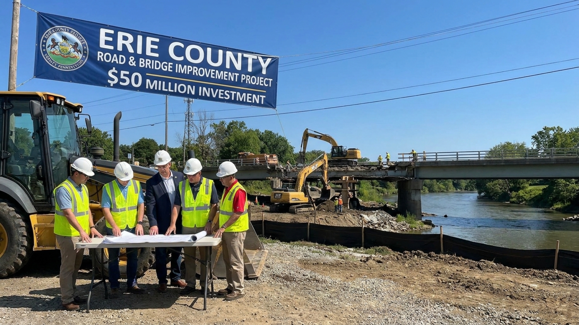
More than 160 years after the historic clash that revolutionized naval warfare, the USS Monitor continues to offer fresh insights into its storied past. While the vessel rests far from the shores of Lake Erie, the technological breakthroughs used to study it hold significant implications for maritime research across the Great Lakes.
Experts recently gathered at The Mariners’ Museum and Park in Newport News to unveil never-before-seen high-resolution sonar images of the famous Civil War ironclad. These scans, captured using cutting-edge underwater technology, are set to transform how historic shipwrecks are documented and preserved for future generations.
A New Look Beneath the Atlantic
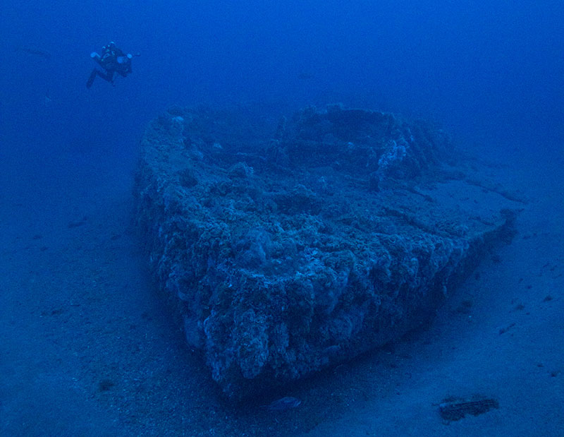
The wreck of the USS Monitor lies approximately 240 feet below the surface of the Atlantic Ocean off the coast of Cape Hatteras, North Carolina. Historically, poor visibility and the sheer depth of the site have made it difficult for researchers to fully map the remains of the ironclad.
In September 2024, a collaborative effort involving scientists from the National Oceanic and Atmospheric Administration (NOAA), engineers from Northrop Grumman, and researchers from Stantec conducted a comprehensive new survey. Utilizing an autonomous underwater vehicle (AUV), the team deployed micro synthetic aperture sonar (µSAS) to scan the site, providing unprecedented clarity of the debris field.
Advanced Sonar: Breaking Through the Murk
The µSAS system represents a generational leap over traditional side-scan sonar. Kevin Gallagher, a sonar architect with Northrop Grumman, noted that this technology employs sophisticated motion-compensation techniques to produce exceptionally sharp imagery, even in challenging environments.
This advanced system is capable of producing half-inch pixel resolution, allowing researchers to see minute details across a wide swath of the seafloor. This level of precision is particularly valuable in the dark, murky water conditions of the Atlantic—conditions often mirrored in the silty depths of Lake Erie, where many of Western New York’s own maritime mysteries remain hidden.
Legacy of the Ironclad
The USS Monitor holds a unique place in American history. Launched in 1862, this ironclad warship featured the world’s first rotating gun turret. Its legendary engagement with the Confederate CSS Virginia during the Battle of Hampton Roads was the first fight of its kind, effectively ending the era of wooden naval vessels.
Sabrina Jones of The Mariners’ Museum emphasized the ship’s role as a symbol of technological innovation. Since sinking in a storm in late 1862, the site was designated as the nation’s first national marine sanctuary in 1975. Today, significant components—including the ship’s turret, steam engine, and Dahlgren cannons—are preserved in Virginia, serving as a testament to 19th-century engineering.
Implications for Underwater Preservation
These groundbreaking sonar images are vital for the ongoing protection of the wreck site. By comparing these high-definition scans over several years, scientists can track environmental degradation caused by corrosion, severe ocean currents, or shifting sands.
Jeff Gray, representing NOAA’s Office of National Marine Sanctuaries, highlighted that this technology is a major advancement in managing underwater cultural heritage. For regions like Western New York, which boasts a rich naval history at the Buffalo and Erie County Naval & Military Park, these developments offer a roadmap for how we might better monitor our own submerged historical assets.
Inspiring Future Explorers
Beyond the data, the project aims to spark interest in STEM fields. Researchers believe that seeing history through the lens of modern tech can inspire the next generation of engineers, archaeologists, and oceanographers.
The new scans are being adapted into 3-D visualizations and digital reconstructions. These tools allow museum visitors to virtually “dive” to the wreck, exploring the Monitor as it looked during the Civil War and as it appears today on the ocean floor.
The unveiling of these revolutionary scans serves as a reminder that history is never truly “lost”—it is simply waiting for the right technology to find it. As the USS Monitor continues to push the boundaries of underwater exploration, it remains a bridge between our industrial past and a high-tech future. For those interested in viewing the full gallery of these remarkable images, additional resources are available via NOAA’s official website.
Editor’s Note: Lake Erie Times provides this coverage as part of our commitment to regional and national historical awareness. For more stories on local heritage and community affairs, visit our Community Section.
Disclaimer: The content provided by Lake Erie Times is for informational purposes only. Some links on Lake Erie Times are affiliate links; we may earn a commission at no additional cost to you.