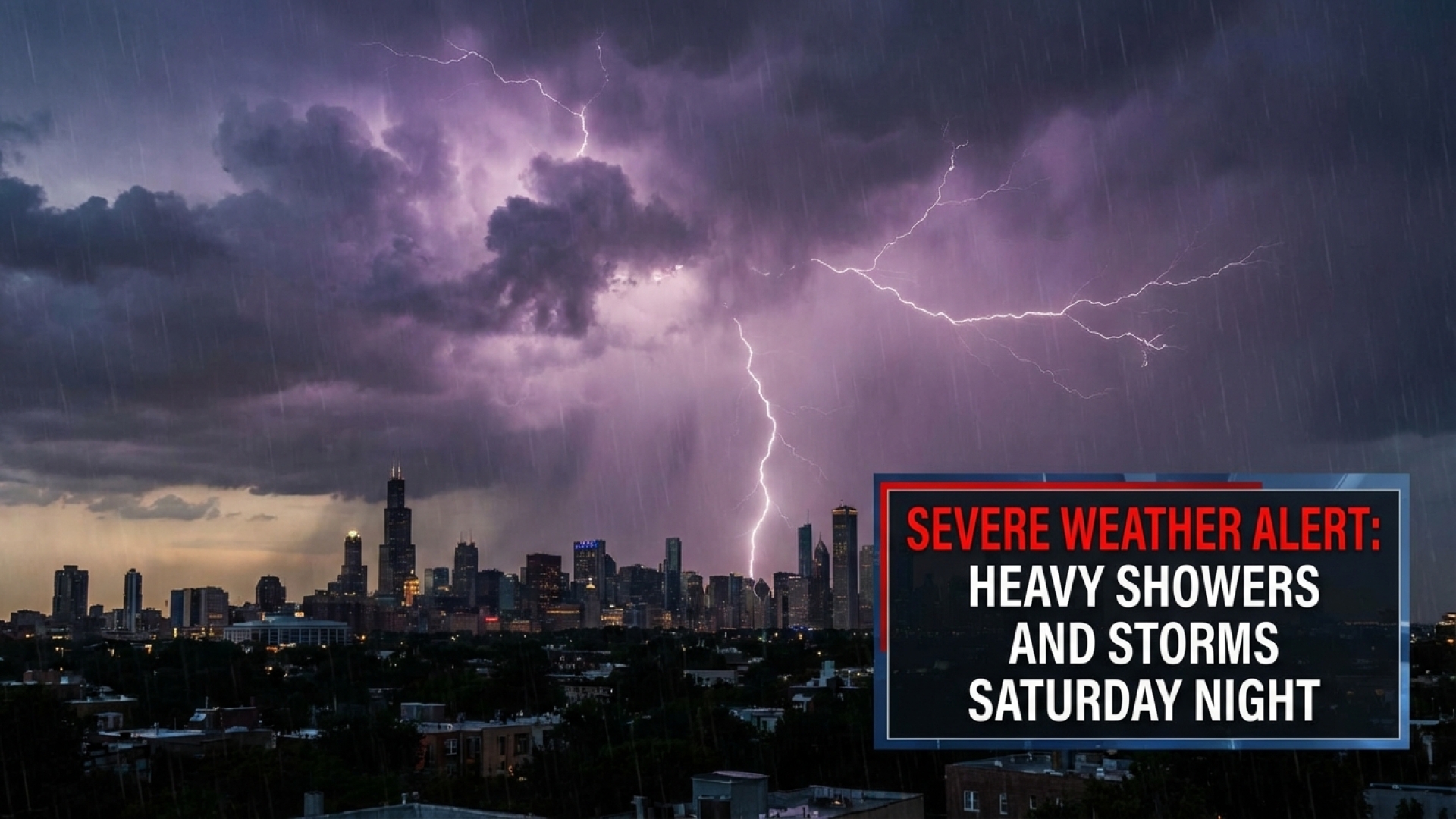
BUFFALO, N.Y. — The Lake Erie Times has issued a Weather Impact Alert for Western New York, as a significant weather system is forecasted to sweep across the region. Heavy showers and potentially severe thunderstorms are expected to arrive Saturday evening, starting around 7 p.m. and persisting through 5 a.m. Sunday.
Severe Weather Timeline and Frontal Movement
After a day of unseasonably warm temperatures reaching the low to mid-70s, a powerful cold front is set to collide with the prevailing warm air. This interaction is the primary catalyst for the incoming turbulence. While the morning may see only isolated passing showers, residents should prepare for a rapid deterioration of conditions as the front moves closer to the Lake Erie shoreline and inland Western New York.
The following table outlines the expected progression of this weather event:
| Timeframe | Weather Condition | Primary Concerns |
|---|---|---|
| 7 p.m. – Midnight | Severe Thunderstorms | Damaging Winds, Isolated Tornado Risk |
| Midnight – 5 a.m. | Heavy Rainfall | Localized Flooding, Saturated Grounds |
| Sunday Morning | Cold Front Passage | Sharp Temperature Drop, Windy Conditions |
Primary Threats: Wind, Rain, and Spin-Up Potential
According to regional meteorological data analyzed by William Strasmore, the period between 7 p.m. and midnight represents the highest risk for severe activity. The atmospheric energy present will be conducive to damaging straight-line winds and torrential downpours. Given the recent history of similar weather patterns in the Buffalo area, an isolated tornado spin-up remains a remote but credible threat that emergency management officials are monitoring.
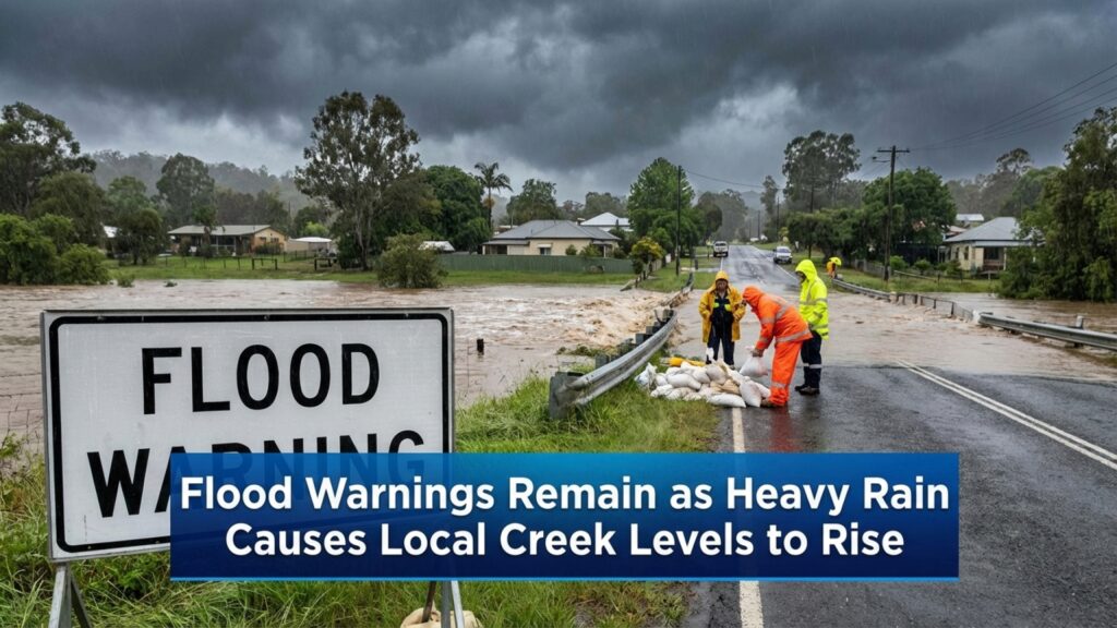
Heavy rain is the secondary concern, with the potential to cause flash flooding in poorly drained areas. Once the core of the storm system passes after midnight, the activity will transition into steady rain before tapering off by sunrise.
Easter Sunday Outlook: A Chilly Transition
While the severe threat will diminish by Easter Sunday morning, the region will face a starkly different climate. The departure of the storm system will usher in a breezy and significantly colder air mass. Temperatures are expected to plummet, hovering near 40 degrees for most of the day—a nearly 30-degree drop from Saturday’s highs. Holiday travelers and those attending outdoor services should also prepare for a stray sprinkle or light flurry during the afternoon hours.
For more updates on local conditions and community alerts, visit the Lake Erie Times Weather section.
About the Author: William Strasmore is a veteran reporter for the Lake Erie Times, specializing in investigative journalism and regional affairs across Western New York.
Disclaimer: The content provided by Lake Erie Times is for informational purposes only and should not be considered as professional legal or financial advice. Some links on our site are affiliate links; we may earn a commission at no additional cost to you, supporting our commitment to quality local journalism.