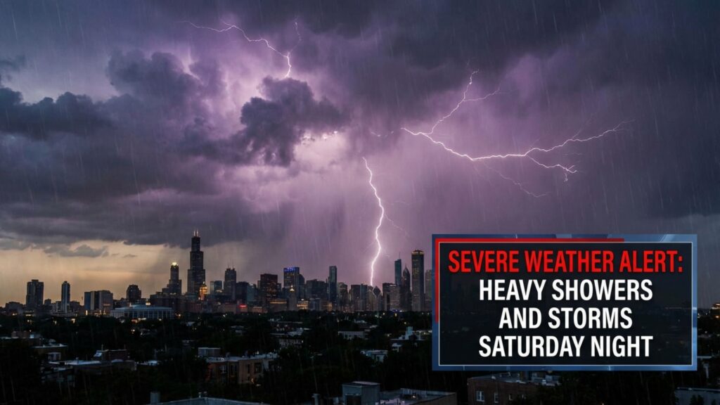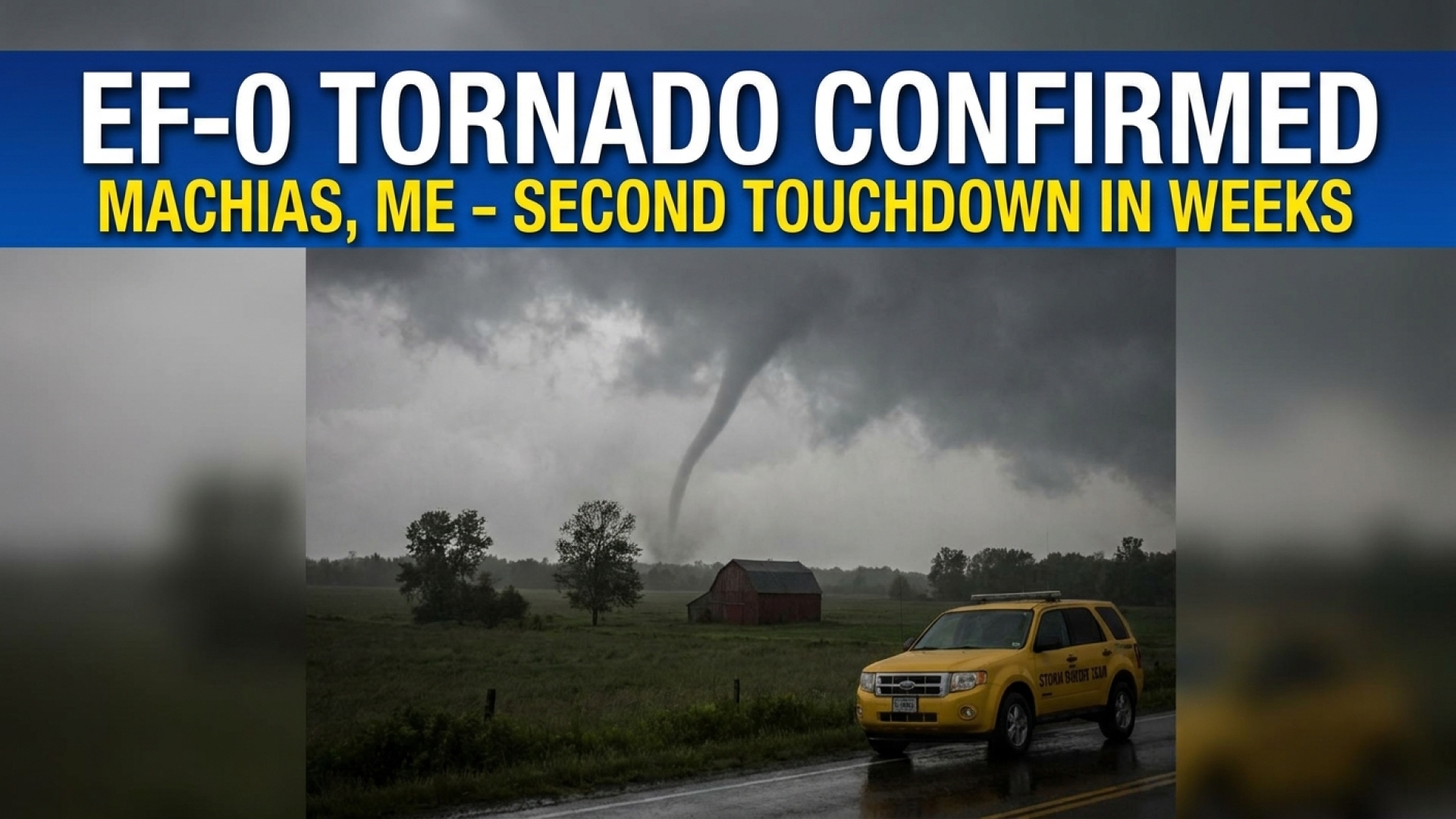
BUFFALO, N.Y. — The town of Machias has recently experienced a rare atmospheric sequence, with a second tornado touchdown confirmed within a span of approximately two weeks. Both events occurred remarkably close, just about a mile apart, highlighting a concentrated period of severe weather for the Western New York region.
Details of the Confirmed Machias Tornado
The National Weather Service (NWS) confirmed that a weak tornado, classified as an EF-0, briefly impacted Cattaraugus County at 8:13 p.m. on Wednesday evening. The funnel remained on the ground for approximately one minute, packing estimated peak winds of 75 mph. According to the NWS storm survey, the tornado carved a path 0.17 miles long and 55 yards wide. Fortunately, no injuries were reported during the event.
National Weather Service Investigation Findings
Following the storm, an NWS survey team conducted a field investigation to assess the wreckage. The team noted that the parent weather system originated over Lake Erie, moving eastward at approximately 50 mph. As the line of storms traversed through Cherry Creek and Leon, it left a trail of fallen trees and downed utility wires.
As the cell progressed further into Cattaraugus County, a mid-level mesocyclone intensified east of U.S. Route 219. This short-lived but potent rotation southeast of Machias provided the necessary conditions for tornadogenesis. William Strasmore, reporting for the Lake Erie Times, noted that this localized intensification is part of a broader trend of volatile weather patterns affecting our region this season.
Assessing the Tornado’s Impact and Damage
The ground-level damage commenced near the intersection of Tug Hill Road and Gulf Hill Road. Investigators found several hardwood and softwood trees uprooted in a convergent, non-linear pattern—a hallmark of tornadic rotation rather than straight-line winds.
Structural impacts were also recorded at local residences. One primary home saw a window blown out on its upper story, while a secondary residence nearby sustained minor roof damage. Further evidence of the 0.17-mile path included snapped branches and additional uprooted vegetation located just east of the initial damage zone.
Understanding the Enhanced Fujita Scale
The Enhanced Fujita Scale (EF Scale) is the industry standard for classifying tornado intensity based on wind speeds and related damage. The Machias event, with its 75 mph winds, sits firmly within the EF-0 category.
| Scale Category | Estimated Wind Speed (MPH) | Potential Damage |
|---|---|---|
| EF-0 | 65–85 mph | Light: Peels surfaces off roofs; some damage to gutters or siding. |
| EF-1 | 86–110 mph | Moderate: Roofs severely stripped; mobile homes overturned. |
| EF-2 | 111–135 mph | Considerable: Roofs torn off well-constructed houses; large trees snapped. |
| EF-3 | 136–165 mph | Severe: Entire stories of well-constructed houses destroyed. |
| EF-4 | 166–200 mph | Devastating: Well-constructed houses leveled; cars thrown. |
| EF-5 | >200 mph | Incredible: Strong frame houses lifted off foundations and swept away. |
As Western New York continues to deal with an active severe weather season, the Lake Erie Times remains committed to providing in-depth coverage of community impacts and local safety updates. Stay connected with our local news and weather sections for further developments.
Disclaimer: The content provided by Lake Erie Times is for informational purposes only and should not be considered as professional legal or financial advice. Some links on our site may be affiliate links; we may earn a commission at no additional cost to you based on our commitment to quality journalism.